No products
Product successfully added to your shopping cart
There are 0 items in your cart. There is 1 item in your cart.
United Kingdom There are 3 products.
-
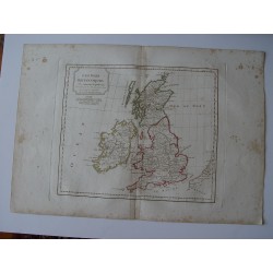
Antique map of United Kingdom. Robert de...
Antique map of United Kingdom. A map created by Robert de Vaugondy for the 'Atlas Universel' in 1757 and corrected by his successor Lamarche. The Atlas Universel is one of the most important 18th-century atlases. This impression was published shortly after the French Revolution and dated as year 3 in the French Republican Calendar. Plate size: 27,3x44,4...
200 €Available -
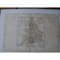
Antique map of England. Robert de Vaugondy...
Antique map of England (L Anglaterre). A map created by Robert de Vaugondy for the 'Atlas Universel' in 1757 and corrected by his successor Lamarche. The Atlas Universel is one of the most important 18th-century atlases. This impression was published shortly after the French Revolution and dated as year 3 in the French Republican Calendar. Plate size:...
200 €Available -
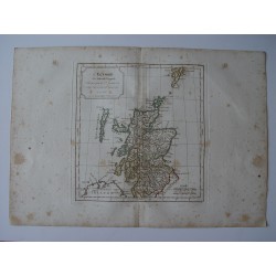
Antique map of Scotland. Robert de...
Antique map of Scotland (L Ecosse). A map created by Robert de Vaugondy for the 'Atlas Universel' in 1757 and corrected by his successor Lamarche. The Atlas Universel is one of the most important 18th-century atlases. This impression was published shortly after the French Revolution and dated as year 3 in the French Republican Calendar. Plate size:...
210 €Available


