No products
Product successfully added to your shopping cart
There are 0 items in your cart. There is 1 item in your cart.
France There are 7 products.
-
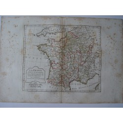
Antique map of France. Robert de Vaugondy...
Antique map of France (La France). Robert de Vaugondy (1806). An interesting map created by Robert de Vaugondy for the 'Atlas Universel' in 1757 and corrected by his successor Lamarche. The Atlas Universel is one of the most important 18th-century atlases. This impression is dated on 1806. Plate size: 25,3x23,8 cm. Paper size: 31,8x45 cm.
170 €Available -
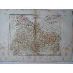
Antique map of northern regions of France....
Antique map of northern regions of France (Flandre, Picardie et Artois. Isle de France Orleanois, Champagne, Lorraine et Alsace). An interesting map created by Robert de Vaugondy for the 'Atlas Universel' in 1757 and corrected by his successor Lamarche. The Atlas Universel is one of the most important 18th-century atlases. This impression is dated on...
150 €Available -
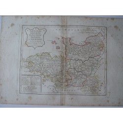
Antique map of northwestern regions of...
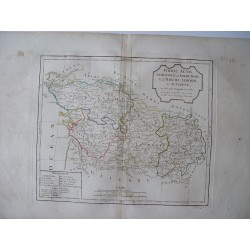
Antique map of northwestern regions of France. An interesting map created by Robert de Vaugondy for the 'Atlas Universel' in 1757 and corrected by his successor Lamarche. The Atlas Universel is one of the most important 18th-century atlases. This impression was published after the French Revolution and dated as year 3 in the French Republican Calendar....
150 €Available -
Antique map of central regions of France....
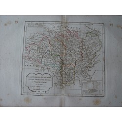
Antique map of central regions of France. An interesting map created by Robert de Vaugondy for the 'Atlas Universel' in 1757 and corrected by his successor Lamarche. The Atlas Universel is one of the most important 18th-century atlases. This impression was published after the French Revolution and dated as year 3 in the French Republican Calendar. Plate...
150 €Available -
Antique map of shoutern regions of France....
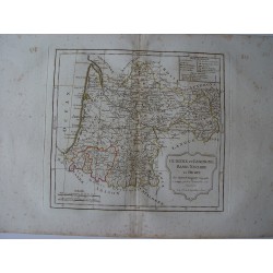
Antique map of shoutern regions of France. An interesting map created by Robert de Vaugondy for the 'Atlas Universel' in 1757 and corrected by his successor Lamarche. The Atlas Universel is one of the most important 18th-century atlases. This impression was published after the French Revolution and dated as year 3 in the French Republican Calendar. Plate...
150 €Available -
Antique map of western regions of France....
Antique map of western regions of France. An interesting map created by Robert de Vaugondy for the 'Atlas Universel' in 1757 and corrected by his successor Lamarche. The Atlas Universel is one of the most important 18th-century atlases. This impression was published after the French Revolution and dated as year 3 in the French Republican Calendar. Plate...
150 €Available -
Antique map of shouteastern regions of...
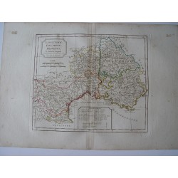
Antique map of shouteastern regions of France (Languedoc Dauphiné, Provence). Robert de Vaugondy. An interesting map created by Robert de Vaugondy for the 'Atlas Universel' in 1757 and corrected by his successor Lamarche. The Atlas Universel is one of the most important 18th-century atlases. Plate size: 25x28,5 cm. Paper size: 31,8x45 cm.
150 €Available
