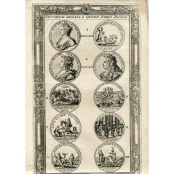
Tardieu Map of Europe showing Railways
Media: engraving on a vellin type paper.
Provenance: 'Atlas Universel de Geographie ancienne et moderne', by A. Tardieu and A. Vuillemin for 'L'Intelligence de la Geographie Universelle de Malte-Brun LaVallee, Paris.
Artists and Engravers: The authors / cartographers are Ambroise Tardieu and A. Vuillemin. Ambroise Tardieu (Paris 1788-1841) was an eminent French cartographer and engraver, and is celebrated for his version of John Arrow Smith's 1806 map of the United States.
The maps are etched / engraved by Lemercier.
Image size: 43x34 cms.
Paper size: 51x41 cms.
Condition: countries' boundaries have been hand coloured. General age related toning. Foxing as visible on scan. Please study scan carefully.
")
")