No products
Product successfully added to your shopping cart
There are 0 items in your cart. There is 1 item in your cart.
Maps There are 65 products.
-
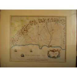
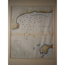
Spain. Catalonia. "Tarragona Field Map".
Description: Original 18th century engraving. Hand colored. Image measures 38 x 47 cms. Good conservation.
700 €Available -
Spain. Catalonia. Lerida. «Plan of Lérida»...
Original engraving. Plate size measures 31 x 48.5 cm. Moulinier drew. Vicq recorded. Good conservation.
140 €Available -
Spain. Andalusia. «Plan of the Bay of...
Harrisons original antique print. Image measures 44.5 x 36.4 cm. It has two horizontal folds.
400 €Available -
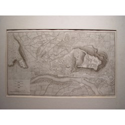
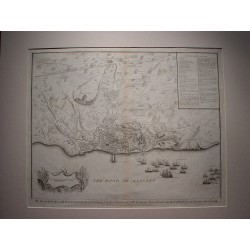
Spain. «Plan of the city and castle of...
Original engraving. Plate size measures 39 x 49 cms. Very good conservation.
450 €Available -
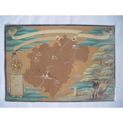
Ancient map possibly of Navarra Watercolor
Ancient map possibly Navarre by contour and figures. I do not know the time, it could be the beginning of the 19th century. Measures 23.5x34.2 cm. Good conservation.
200 €Available -
-
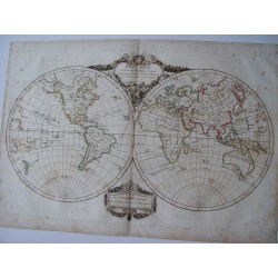
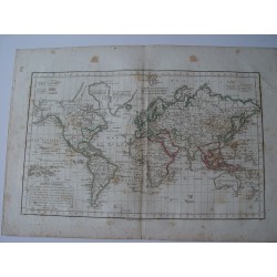
Antique map of the world. Mappe-Monde. De...
Copperplate impression shows the finding of explorations by Cook, Perouse, Vancouver and Mackensie in 1801 and 1802. Coastlines of North America and islands of the Pacific are reasonably accurate."Terres Arctiques" is not well defined. This is a very interesting old map. Hand colored in outline and single fold as issued. .
350 €Available -
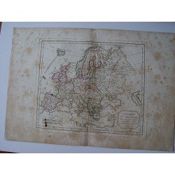
Antique map of Europe. Robert de Vaugondy...
Antique map of Europe. Robert de Vaugondy (1804). An interesting map created by Robert de Vaugondy for the 'Atlas Universel' in 1757 and corrected by his successor Lamarche. The Atlas Universel is one of the most important 18th-century atlases. This impression is dated on 1804. Plate size: 25.4x30 cm. Paper size 31.8x45 cm.
250 €Available -
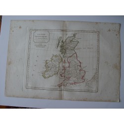
Antique map of United Kingdom. Robert de...
Antique map of United Kingdom. A map created by Robert de Vaugondy for the 'Atlas Universel' in 1757 and corrected by his successor Lamarche. The Atlas Universel is one of the most important 18th-century atlases. This impression was published shortly after the French Revolution and dated as year 3 in the French Republican Calendar. Plate size: 27,3x44,4...
200 €Available -
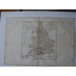
Antique map of England. Robert de Vaugondy...
Antique map of England (L Anglaterre). A map created by Robert de Vaugondy for the 'Atlas Universel' in 1757 and corrected by his successor Lamarche. The Atlas Universel is one of the most important 18th-century atlases. This impression was published shortly after the French Revolution and dated as year 3 in the French Republican Calendar. Plate size:...
200 €Available -
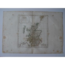
Antique map of Scotland. Robert de...
Antique map of Scotland (L Ecosse). A map created by Robert de Vaugondy for the 'Atlas Universel' in 1757 and corrected by his successor Lamarche. The Atlas Universel is one of the most important 18th-century atlases. This impression was published shortly after the French Revolution and dated as year 3 in the French Republican Calendar. Plate size:...
210 €Available -
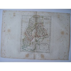
Antique map of Sweden. Robert de Vaugondy...
Antique map of Sweden (La Suede). An interesting map created by Robert de Vaugondy for the 'Atlas Universel' in 1757 and corrected by his successor Lamarche. The Atlas Universel is one of the most important 18th-century atlases. This impression was published shortly after the French Revolution and dated as year 3 in the French Republican Calendar. Plate...
200 €Available -
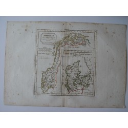
Antique map of Norway and Denmark. Robert...
Antique map of Norway and Denmark (Norwege el Royaume de Danemarck). A map created by Robert de Vaugondy for the 'Atlas Universel' in 1757 and corrected by his successor Lamarche. The Atlas Universel is one of the most important 18th-century atlases. It was published after the French Revolution and dated as year 3 in the French Republican Calendar. Plate...
200 €Available -
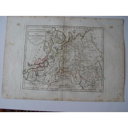
Antique map of Northern Russia. Robert de...
Antique map of Northern Russia. An interesting map created by Robert de Vaugondy for the 'Atlas Universel' in 1757 and corrected by his successor Lamarche. The Atlas Universel is one of the most important 18th-century atlases. It was published shortly after the French Revolution and dated as year 3 in the French Republican Calendar. Plate size: 25,4x30...
225 €Available -
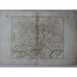
Antique map of Shoutern Russia. Robert de...
Antique map of Shoutern Russia (Partie Meridionale de la Russie Europeenne Petit Tartarie). An interesting map created by Robert de Vaugondy for the 'Atlas Universel' in 1757 and corrected by his successor Lamarche. The Atlas Universel is one of the most important 18th-century atlases. This impression is dated on 1806. Plate size: 26x23,1 cm. Paper...
225 €Available -
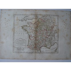
Antique map of France. Robert de Vaugondy...
Antique map of France (La France). Robert de Vaugondy (1806). An interesting map created by Robert de Vaugondy for the 'Atlas Universel' in 1757 and corrected by his successor Lamarche. The Atlas Universel is one of the most important 18th-century atlases. This impression is dated on 1806. Plate size: 25,3x23,8 cm. Paper size: 31,8x45 cm.
170 €Available -
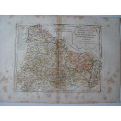
Antique map of northern regions of France....
Antique map of northern regions of France (Flandre, Picardie et Artois. Isle de France Orleanois, Champagne, Lorraine et Alsace). An interesting map created by Robert de Vaugondy for the 'Atlas Universel' in 1757 and corrected by his successor Lamarche. The Atlas Universel is one of the most important 18th-century atlases. This impression is dated on...
150 €Available -
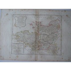
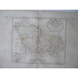
Antique map of northwestern regions of...
Antique map of northwestern regions of France. An interesting map created by Robert de Vaugondy for the 'Atlas Universel' in 1757 and corrected by his successor Lamarche. The Atlas Universel is one of the most important 18th-century atlases. This impression was published after the French Revolution and dated as year 3 in the French Republican Calendar....
150 €Available -
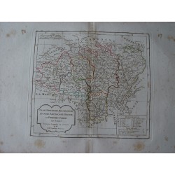
Antique map of central regions of France....
Antique map of central regions of France. An interesting map created by Robert de Vaugondy for the 'Atlas Universel' in 1757 and corrected by his successor Lamarche. The Atlas Universel is one of the most important 18th-century atlases. This impression was published after the French Revolution and dated as year 3 in the French Republican Calendar. Plate...
150 €Available -
Antique map of shoutern regions of France....
Antique map of shoutern regions of France. An interesting map created by Robert de Vaugondy for the 'Atlas Universel' in 1757 and corrected by his successor Lamarche. The Atlas Universel is one of the most important 18th-century atlases. This impression was published after the French Revolution and dated as year 3 in the French Republican Calendar. Plate...
150 €Available
