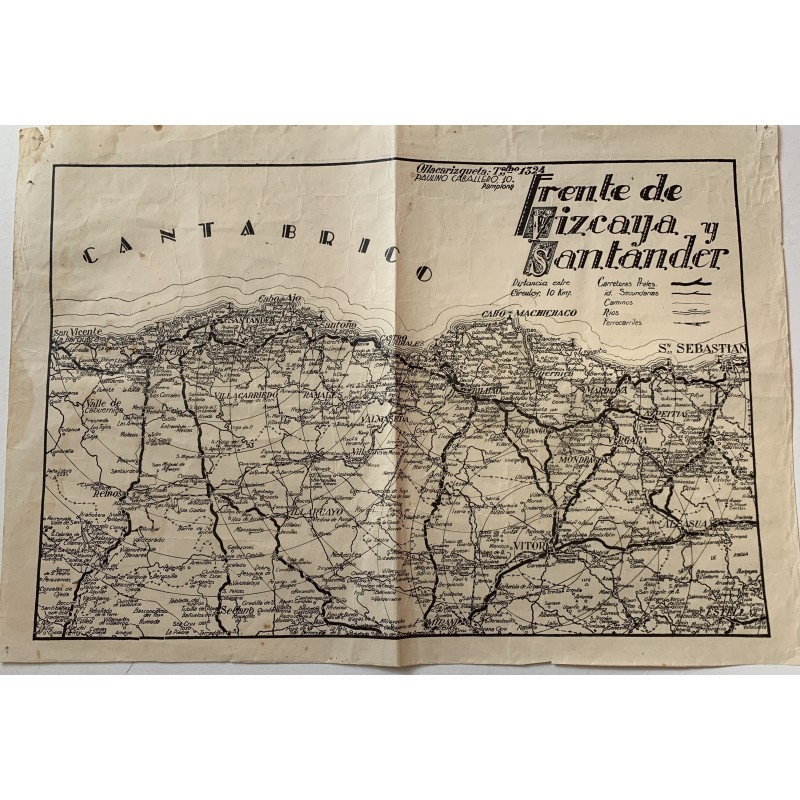


Campaign map of the Spanish Civil War showing the Biscay and Santander front, printed in Pamplona by Ollacarizqueta. It traces the lines that separated the two armies and superimposes concentric circles 10 km apart around Santander, Bilbao and Vitoria, which allowed the advance to be followed on paper.
Campaign map of the Spanish Civil War showing the Biscay and Santander front, printed in Pamplona by Ollacarizqueta. It traces the lines that separated the two armies and superimposes concentric circles 10 km apart around Santander, Bilbao and Vitoria, which allowed the advance to be followed on paper.
Medium: Printed map.
Source: Ollacarizqueta, Paulino Caballero, 10, Pamplona.
Date: Spanish Civil War, about 1937-1938.
Dimensions: 17.3 x 11.7 in (44 x 29.8 cm).
Condition: Unfolded sheet, with the folds heavily marked, paper browned, tears at the edges and adhesive tape reinforcements on the back.
Campaign map of the Spanish Civil War showing the Biscay and Santander front, printed in Pamplona by Ollacarizqueta. It traces the lines that separated the two armies and superimposes concentric circles 10 km apart around Santander, Bilbao and Vitoria, which allowed the advance to be followed on paper.