Maps of Asia
Antique Maps of Asia
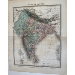
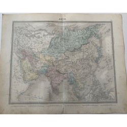
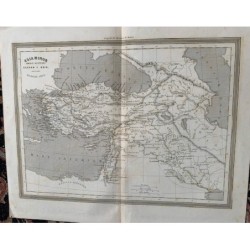
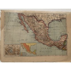
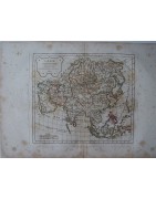
Original maps of Asia from 1814 to 1939: a general map of the continent by Tardieu and Vuillemin, a map of biblical Palestine, a 19th-century lithograph of the East Indies, Indochina and the Philippines, Ramón Alabern's map of Alexander's empire, and a 1939 map of Turkey, Syria, Iraq and Transjordan.
A wide-ranging category for collectors of Middle Eastern and East Asian cartography alike. Every map is an original of its time, with a technical sheet and exact measurements.
Subcategories
-

Maps of the Holy Land
Antique Maps of the Holy Land
Original maps of the Holy Land from 1814 to 1900: the four-map set of Palestine and Egypt by Delamarche, Arrowsmith's 1814 map of the Israelites' journey from Egypt to Canaan, Ramón Alabern's maps of the Hebrews' geography and of Palestine divided among the tribes, and the Robert de Vaugondy-Delamarché plate of Judea.
A category of particular interest for biblical study and for collectors of Holy Land cartography. Every map is an original of its period, with a technical sheet and exact measurements.