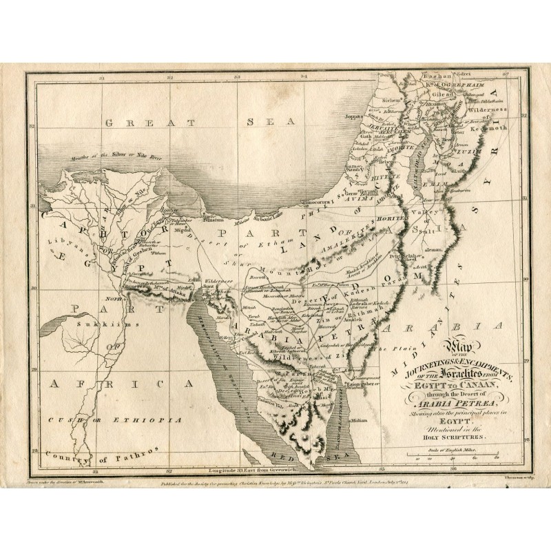


An original engraved map of the route and encampments of the Israelites from Egypt to Canaan across the desert of Arabia Petraea, with the places of Holy Scripture, the Red Sea, Sinai and the Holy Land. Drawn under the direction of Aaron Arrowsmith and engraved by Thomson.
An original engraved map of the route and encampments of the Israelites from Egypt to Canaan across the desert of Arabia Petraea, with the places of Holy Scripture, the Red Sea, Sinai and the Holy Land. Drawn under the direction of Aaron Arrowsmith and engraved by Thomson.
It was published in London for the Society for Promoting Christian Knowledge by Rivington, in St Paul's Church Yard. Aaron Arrowsmith (1750-1823), Hydrographer to the King, was the most rigorous British cartographer of his day.
Medium: copper engraving
Artist / after: Aaron Arrowsmith (1750-1823)
Engraver: Thomson
Date: 1814
Source: Society for Promoting Christian Knowledge, published by Rivington, London
Dimensions: 11.0 x 8.7 in (28 x 22 cm)
Condition: good condition, the image clean and the paper lightly toned
An original engraved map of the route and encampments of the Israelites from Egypt to Canaan across the desert of Arabia Petraea, with the places of Holy Scripture, the Red Sea, Sinai and the Holy Land. Drawn under the direction of Aaron Arrowsmith and engraved by Thomson.