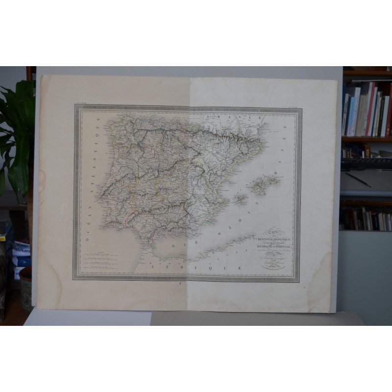


Original map of the Iberian Peninsula entitled "Carte de la Péninsule Hispanique où sont compris les Royaumes d'Espagne et de Portugal, avec leurs divisions en provinces", by the geographer L. Vivien, engraved by Giraldon-Bovinet and dated 1824. With hand-coloured provincial boundaries, it details the relief, rivers and towns of Spain and Portugal, and includes the Balearic Islands and the North African coast.
Medium: Intaglio engraving, with hand-coloured boundaries.
Artist / after: L. Vivien, geographer.
Engraver: Giraldon-Bovinet.
Date: 1824.
Dimensions: Image 16.9 x 21.7 in (43 x 55 cm); sheet 22.4 x 28 in (57 x 71 cm).
Condition: Good condition. Damp stains in the margins that do not affect the engraved image; the left half of the sheet more toned than the right; central fold.