

Original engraved map of Old Castile with the main roads, from Asturias and Biscay to Avila, Soria and Teruel, taking in Burgos, Valladolid and Salamanca. In the lower corner, a cartouche with the arms of the castle held by two putti, and the scales in German and Spanish miles.
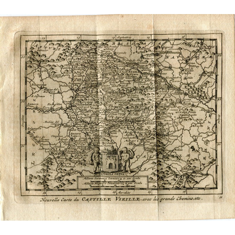
Original engraved map of Old Castile with the main roads, from Asturias and Biscay to Avila, Soria and Teruel, taking in Burgos, Valladolid and Salamanca. In the lower corner, a cartouche with the arms of the castle held by two putti, and the scales in German and Spanish miles.
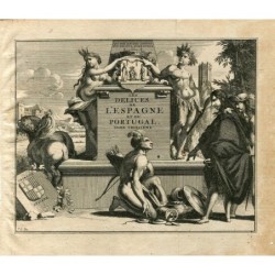
From Les delices de l'Espagne et du Portugal, published at Leiden by Pieter van der Aa in 1715, the most fully illustrated work on Spain to appear in the early 18th century.
Medium: Copper engraving.
Engraver: Pieter van der Aa (Leiden, 1659-1733).
Date: 1715.
Source: Les delices de l'Espagne et du Portugal, Leiden, 1715.
Dimensions: Image 4.8 x 6.3 in (12.3 x 16 cm); sheet 6.5 x 6.9 in (16.4 x 17.5 cm).
Condition: Good condition; laid paper toned, with the central binding fold and light creasing in the margins.
Original engraved map of Old Castile with the main roads, from Asturias and Biscay to Avila, Soria and Teruel, taking in Burgos, Valladolid and Salamanca. In the lower corner, a cartouche with the arms of the castle held by two putti, and the scales in German and Spanish miles.