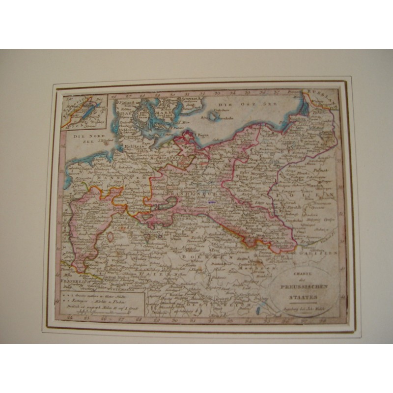


Antique map of the Prussian state, engraved and hand-colored, published in Augsburg by Johannes Walch. The cartouche is lettered "Charte des Preussischen Staates". It reaches from Holland to Poland and Galicia, with Berlin, the Baltic and an inset of Denmark and Schleswig-Holstein.
Antique map of the Prussian state, engraved and hand-colored, published in Augsburg by Johannes Walch. The cartouche is lettered "Charte des Preussischen Staates". It reaches from Holland to Poland and Galicia, with Berlin, the Baltic and an inset of Denmark and Schleswig-Holstein.
Johann Walch (Kempten, 1757 - Augsburg, 1815) built his map-publishing house in Augsburg on the copperplates of Matthaus Seutter and Tobias Conrad Lotter, acquired in 1789.
Medium: Copper engraving, hand-colored.
Artist / after: Johann Walch (1757-1815).
Date: Early 19th century.
Source: Published in Augsburg by Joh. Walch.
Dimensions: Sheet 7.2 x 8.9 in (18.3 x 22.5 cm).
Condition: Good; presented in a mat.
Antique map of the Prussian state, engraved and hand-colored, published in Augsburg by Johannes Walch. The cartouche is lettered "Charte des Preussischen Staates". It reaches from Holland to Poland and Galicia, with Berlin, the Baltic and an inset of Denmark and Schleswig-Holstein.