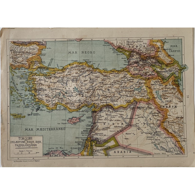


Original map in color of Turkey, Palestine, Syria, Iraq and Transjordan, extending to the Caucasus, Persia and the Caspian Sea, at a scale of 1:7,500,000. Chromolithograph by the Litografia Fernandez Gonzalo of Madrid for Salvador Salinas's atlas.
Original map in color of Turkey, Palestine, Syria, Iraq and Transjordan, extending to the Caucasus, Persia and the Caspian Sea, at a scale of 1:7,500,000. Chromolithograph by the Litografia Fernandez Gonzalo of Madrid for Salvador Salinas's atlas.
The drawing fixes the Near East between the wars: the mandates of Palestine and Transjordan, the kingdom of Iraq and the Soviet republics of Georgia, Armenia and Azerbaijan.
Medium: Chromolithograph (lithograph in color).
Artist: Salvador Salinas.
Date: 1939.
Source: Litografia Fernandez Gonzalo, Cordoba 17, Madrid; map No. 39.
Dimensions: 13.4 x 9.6 in (34 x 24.5 cm).
Condition: Good condition; paper somewhat toned, with a light fox stain at the upper right edge.
Original map in color of Turkey, Palestine, Syria, Iraq and Transjordan, extending to the Caucasus, Persia and the Caspian Sea, at a scale of 1:7,500,000. Chromolithograph by the Litografia Fernandez Gonzalo of Madrid for Salvador Salinas's atlas.