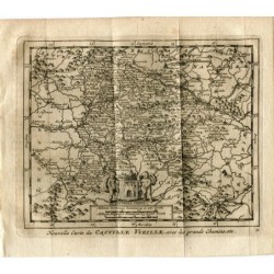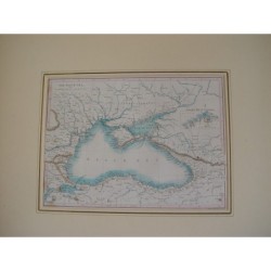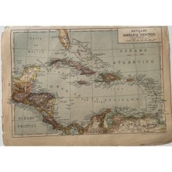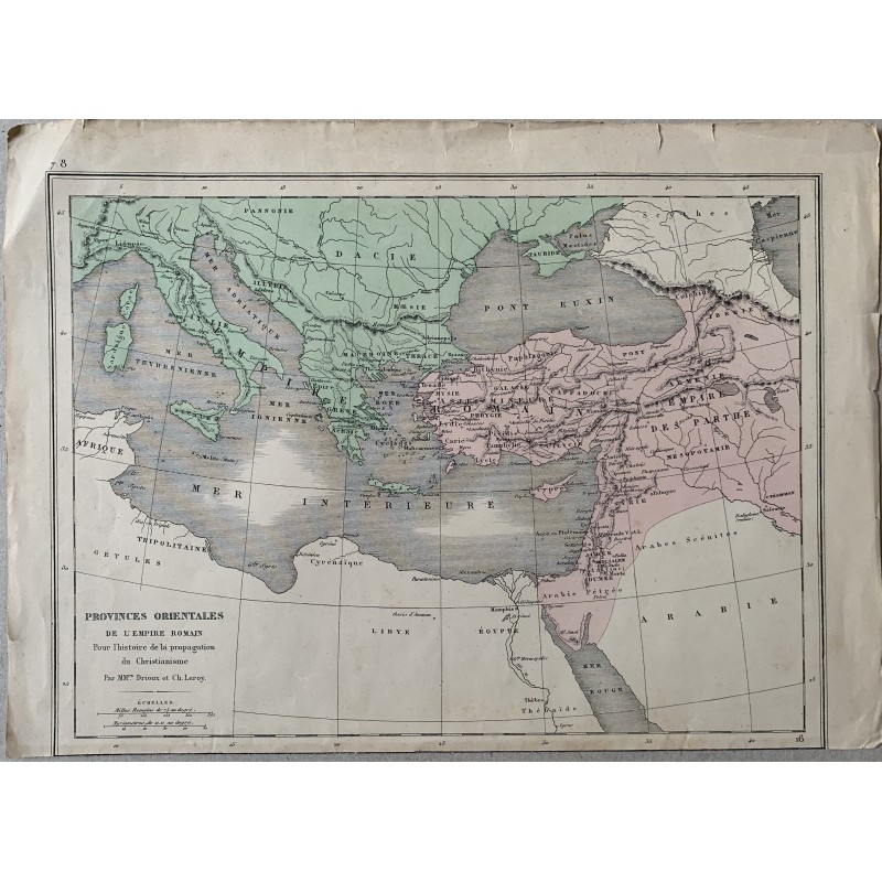

Original nineteenth-century map of the eastern provinces of the Roman Empire, from the Adriatic to Mesopotamia, the boundaries hand-colored in green and pink and the ancient place names very fully given, from Dacia and the Euxine Sea to Syria, Arabia and Egypt. Below: "Provinces orientales de l'Empire romain, pour l'histoire de la propagation du Christianisme. Par MM.rs Drioux et Ch. Leroy".
Original nineteenth-century map of the eastern provinces of the Roman Empire, from the Adriatic to Mesopotamia, the boundaries hand-colored in green and pink and the ancient place names very fully given, from Dacia and the Euxine Sea to Syria, Arabia and Egypt. Below: "Provinces orientales de l'Empire romain, pour l'histoire de la propagation du Christianisme. Par MM.rs Drioux et Ch. Leroy".
Medium: Copper engraving, hand-colored
Artist / after: Drioux and Ch. Leroy
Date: 19th century
Dimensions: 13.0 x 9.4 in (33 x 24 cm)
Condition: Fair; toned paper, with creases, wrinkles and small tears at the edges, above all at the upper right corner; the engraved surface is not affected
Original nineteenth-century map of the eastern provinces of the Roman Empire, from the Adriatic to Mesopotamia, the boundaries hand-colored in green and pink and the ancient place names very fully given, from Dacia and the Euxine Sea to Syria, Arabia and Egypt. Below: "Provinces orientales de l'Empire romain, pour l'histoire de la propagation du Christianisme. Par MM.rs Drioux et Ch. Leroy".