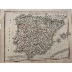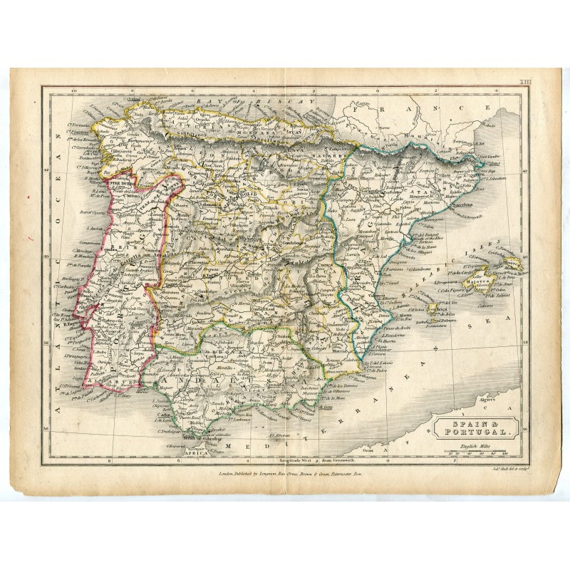


Original antique map of Spain and Portugal, engraved and hand-colored by regions, with the Balearic Islands, the line of the Pyrenees and the North African coast, the river system and the scale in English miles. Lettered at the foot: London, Published by Longman, Rees, Orme, Brown & Green, Paternoster Row, and Sidy. Hall del. et sculp.
Original antique map of Spain and Portugal, engraved and hand-colored by regions, with the Balearic Islands, the line of the Pyrenees and the North African coast, the river system and the scale in English miles. Lettered at the foot: London, Published by Longman, Rees, Orme, Brown & Green, Paternoster Row, and Sidy. Hall del. et sculp.
Medium: Copper engraving, hand-colored.
Artist and engraver: Sidney Hall (1788-1831).
Date: 1828.
Source: London, Longman, Rees, Orme, Brown & Green; sheet no. XIII.
Dimensions: 10.6 x 8.5 in (27 x 21.7 cm).
Condition: Small losses at the corners and tape reinforcements on the back; a light crease in the upper margin.
Original antique map of Spain and Portugal, engraved and hand-colored by regions, with the Balearic Islands, the line of the Pyrenees and the North African coast, the river system and the scale in English miles. Lettered at the foot: London, Published by Longman, Rees, Orme, Brown & Green, Paternoster Row, and Sidy. Hall del. et sculp.