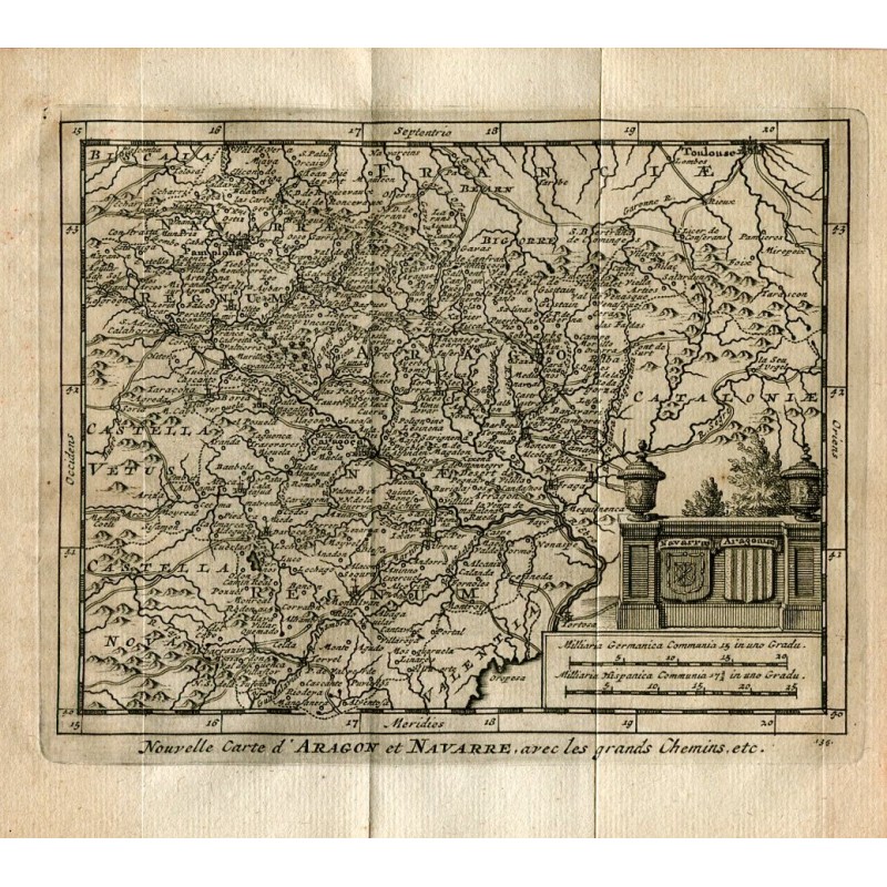


Original engraved map titled Nouvelle Carte d'Aragon et Navarre, avec les grands Chemins, etc., with the kingdoms of Aragon and Navarre, the French Bearn and Bigorre and the western edge of Catalonia, crossed by the royal roads. Lower right, an architectural cartouche with the arms of Navarre and Aragon and the mile scales.
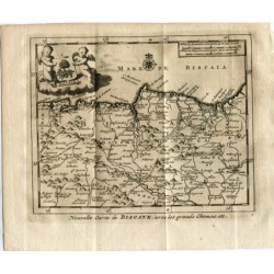
Original engraved map titled Nouvelle Carte d'Aragon et Navarre, avec les grands Chemins, etc., with the kingdoms of Aragon and Navarre, the French Bearn and Bigorre and the western edge of Catalonia, crossed by the royal roads. Lower right, an architectural cartouche with the arms of Navarre and Aragon and the mile scales.
From Les Delices de l'Espagne et du Portugal by Juan Alvarez de Colmenar, published in Leiden (Holland) by Pieter van der Aa in 1715, the most heavily illustrated work on Spain to appear in the early 18th century.
Medium: Copper engraving on laid paper
Artist / engraver: Pieter van der Aa (Leiden, 1659-1733)
Date: 1715
Source: Juan Alvarez de Colmenar, Les Delices de l'Espagne et du Portugal, Leiden
Dimensions: Image 4.8 x 6.3 in (12.3 x 16 cm); sheet 6.5 x 6.9 in (16.4 x 17.5 cm)
Condition: Good condition; retains the folds from the binding (one central horizontal fold and two vertical folds in the margins) and the paper has an even tan tone
Original engraved map titled Nouvelle Carte d'Aragon et Navarre, avec les grands Chemins, etc., with the kingdoms of Aragon and Navarre, the French Bearn and Bigorre and the western edge of Catalonia, crossed by the royal roads. Lower right, an architectural cartouche with the arms of Navarre and Aragon and the mile scales.