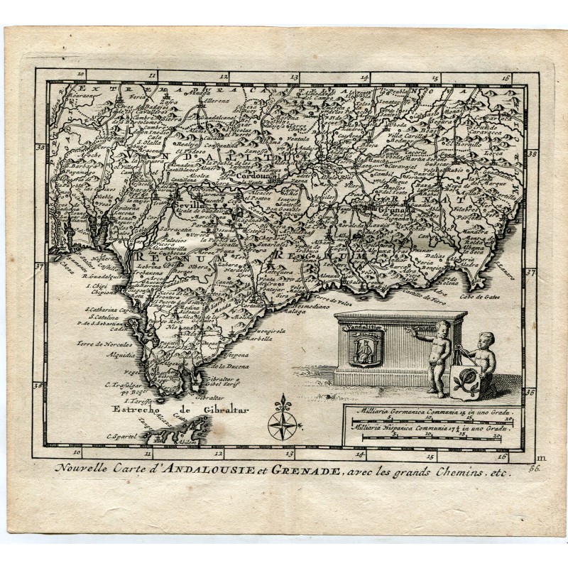


Original antique map of Andalusia and the kingdom of Granada with the royal roads, engraved with the burin, running from the Algarve to Murcia and with the Strait of Gibraltar and the African coast to the south. A cartouche held by two genii and scales of German and Spanish miles. An engraving from Les délices de l'Espagne et du Portugal, Leiden, 1715.
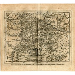
Original antique map of Andalusia and the kingdom of Granada with the royal roads, engraved with the burin, running from the Algarve to Murcia and with the Strait of Gibraltar and the African coast to the south. A cartouche held by two genii and scales of German and Spanish miles. An engraving from Les délices de l'Espagne et du Portugal, Leiden, 1715.
Published by the Dutch bookseller, engraver and geographer Pieter van der Aa (Leiden, 1659-1733) and attributed to Juan Álvarez de Colmenar, this work was the most fully illustrated book on Spain published at the beginning of the 18th century.
Medium: Copper engraving
Publisher: Pieter van der Aa, Leiden
Date: 1715
Source: Les délices de l'Espagne et du Portugal, Leiden, 1715
Dimensions: Plate mark 4.8 x 2.6 in (12.3 x 6.7 cm); sheet 6.3 x 3.9 in (16.1 x 9.8 cm)
Condition: Good condition; toned paper with slight damp stains in the margins, outside the border of the map.
Original antique map of Andalusia and the kingdom of Granada with the royal roads, engraved with the burin, running from the Algarve to Murcia and with the Strait of Gibraltar and the African coast to the south. A cartouche held by two genii and scales of German and Spanish miles. An engraving from Les délices de l'Espagne et du Portugal, Leiden, 1715.