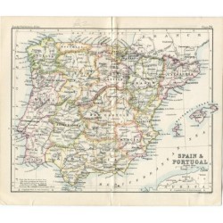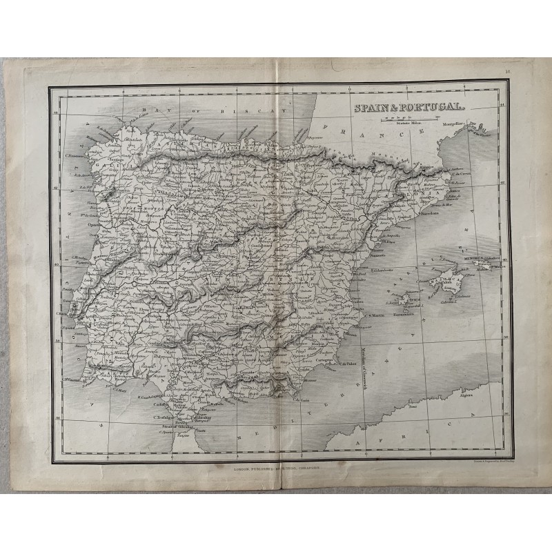


Antique map of Spain and Portugal, an original copper engraving published in London by Thomas Tegg, Cheapside. Below appears "Drawn & Engraved by Alexr. Findlay". It records territorial divisions, relief, coastlines, the Balearic Islands and North Africa.
Antique map of Spain and Portugal, an original copper engraving published in London by Thomas Tegg, Cheapside. Below appears "Drawn & Engraved by Alexr. Findlay". It records territorial divisions, relief, coastlines, the Balearic Islands and North Africa.
Medium: Copper engraving on paper, in black.
Engraver: Alexander Findlay.
Source: Published in London by Thomas Tegg, Cheapside; atlas sheet, numbered 14 at the upper right.
Date: 19th century.
Dimensions: 15.5 x 9.6 in (39.3 x 24.5 cm).
Condition: Central binding fold, paper yellowed toward the margins and slight scattered staining.
Antique map of Spain and Portugal, an original copper engraving published in London by Thomas Tegg, Cheapside. Below appears "Drawn & Engraved by Alexr. Findlay". It records territorial divisions, relief, coastlines, the Balearic Islands and North Africa.