- New
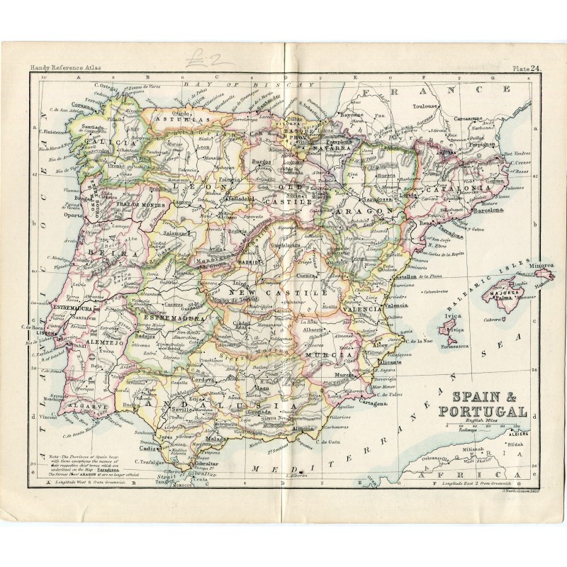


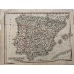
Antique map of Spain and Portugal engraved by John Bartholomew of Edinburgh, with the provinces colored, the railway network shown and the Balearic Islands in an inset. It comes from the "Handy Reference Atlas", where it is map 24.
Medium: Steel engraving, colored.
Engraver / lithographer: John Bartholomew, Edinburgh.
Date: 19th century.
Source: "Handy Reference Atlas", map 24.
Condition: Good. It keeps the central binding fold, with light staining and a small reinforcement at the edge; old pencil annotation in the upper margin.