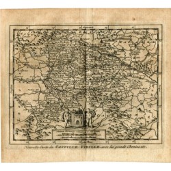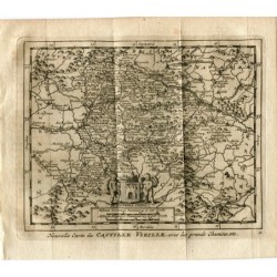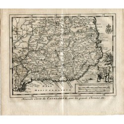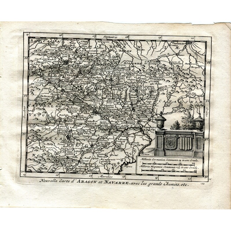


Original line-engraved map of Aragon and Navarre with the main roads, in very fine lettering: from Pamplona, Calahorra and Saragossa to Teruel and Tortosa, with Catalonia, Old Castile and the south of France at the edges. At the lower right corner, a cartouche with the arms of Navarre and Aragon and the scales in German and Spanish miles.
Original line-engraved map of Aragon and Navarre with the main roads, in very fine lettering: from Pamplona, Calahorra and Saragossa to Teruel and Tortosa, with Catalonia, Old Castile and the south of France at the edges. At the lower right corner, a cartouche with the arms of Navarre and Aragon and the scales in German and Spanish miles.
It comes from Les délices de l'Espagne et du Portugal, published in Leiden by Pieter van der Aa in 1715, the most fully illustrated work on Spain to appear in the early eighteenth century, whose text was ascribed to Juan Álvarez de Colmenar, a pseudonym of the publisher himself.
Medium: Copper engraving
Engraver / lithographer: Pieter van der Aa (Leiden, 1659-1733)
Source: Les délices de l'Espagne et du Portugal, Leiden, 1715, p. 136
Date: 1715
Dimensions: 6.9 x 6.1 in (17.5 x 15.5 cm)
Condition: Good condition; toned laid paper, with irregular margins and a slight wrinkle at the upper edge; the engraved surface remains sharp
Original line-engraved map of Aragon and Navarre with the main roads, in very fine lettering: from Pamplona, Calahorra and Saragossa to Teruel and Tortosa, with Catalonia, Old Castile and the south of France at the edges. At the lower right corner, a cartouche with the arms of Navarre and Aragon and the scales in German and Spanish miles.