- New
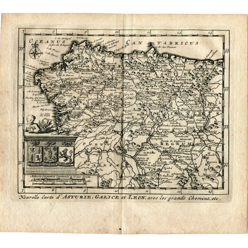


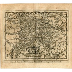
Original engraving with the map of north-western Spain, from Cape Ortegal and Finisterre to Valladolid and Segovia, with northern Portugal, towns, rivers, mountains and the main roads. Cartouche with the arms of Asturias, Galicia and León and a putto, compass rose and scales in German and Spanish miles. Title below: "Nouvelle Carte d'Asturie, Galice et Leon, avec les grands Chemins, etc.".
From Les Délices de l'Espagne et du Portugal, published in Leiden (Holland) by Pieter van der Aa in 1715 and attributed to Juan Álvarez de Colmenar: the most fully illustrated work on Spain published in the early eighteenth century.
Medium: Copper engraving
Engraver / publisher: Pieter van der Aa (Leiden, 1659-1733)
Date: 1715
Source: Les Délices de l'Espagne et du Portugal, Leiden (Holland), 1715
Dimensions: 7.2 x 6.3 in (18.2 x 16 cm)
Condition: Good; central vertical binding fold, reinforced on the back with a paper guard, light even toning of the paper.