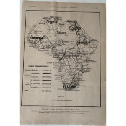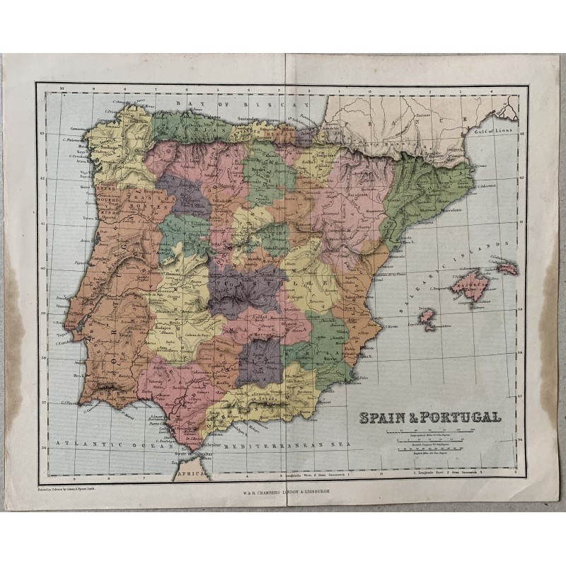


Antique map of Spain and Portugal printed in colors, published by W. & R. Chambers (London and Edinburgh) in the 19th century. Below: "Printed in Colours by Cowan & Speirs, Lith.". The provinces are colored in flat inks, with relief, the Balearic Islands and scales in Spanish leagues and English miles.
Antique map of Spain and Portugal printed in colors, published by W. & R. Chambers (London and Edinburgh) in the 19th century. Below: "Printed in Colours by Cowan & Speirs, Lith.". The provinces are colored in flat inks, with relief, the Balearic Islands and scales in Spanish leagues and English miles.
Medium: Lithograph printed in colors.
Engraver / lithographer: Cowan & Speirs, Leith.
Source: W. & R. Chambers, London and Edinburgh; atlas sheet.
Date: 19th century.
Dimensions: 12.0 x 9.8 in (30.4 x 25 cm).
Condition: Central binding fold, margins yellowed and with damp staining at the left edge.
Antique map of Spain and Portugal printed in colors, published by W. & R. Chambers (London and Edinburgh) in the 19th century. Below: "Printed in Colours by Cowan & Speirs, Lith.". The provinces are colored in flat inks, with relief, the Balearic Islands and scales in Spanish leagues and English miles.