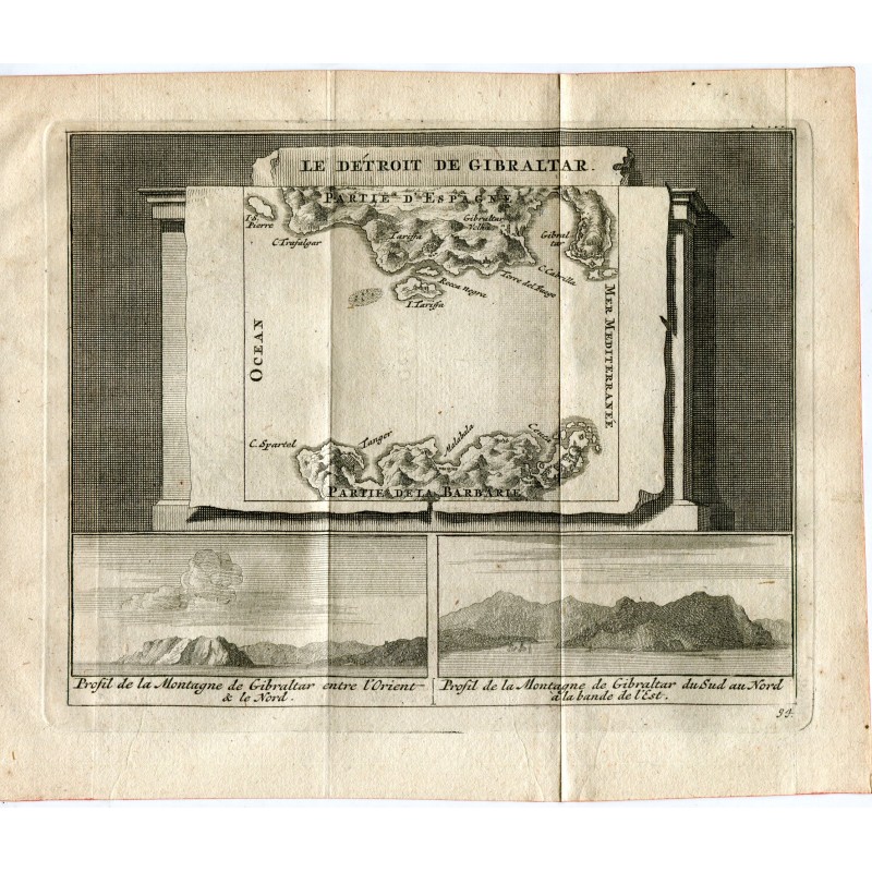

Original engraved map of the Strait of Gibraltar, set out as a canvas against an architectural ground: the Spanish coast with Tarifa, Cape Trafalgar and the Rock, and opposite the "Partie de la Barbarie" with Tangier and Cape Spartel. Below, two profiles of the rock of Gibraltar taken from the sea.
Original engraved map of the Strait of Gibraltar, set out as a canvas against an architectural ground: the Spanish coast with Tarifa, Cape Trafalgar and the Rock, and opposite the "Partie de la Barbarie" with Tangier and Cape Spartel. Below, two profiles of the rock of Gibraltar taken from the sea.
From Les délices de l'Espagne et du Portugal, published in Leiden by Pieter van der Aa, the most fully illustrated work on Spain to appear at the beginning of the 18th century.
Medium: Copper engraving
Engraver / lithographer: Pieter van der Aa (Leiden, 1659-1733)
Date: 1715
Source: Les délices de l'Espagne et du Portugal, Leiden, 1715
Dimensions: Plate mark 6.3 x 4.9 in (16 x 12.5 cm); sheet 7.4 x 6.1 in (18.7 x 15.6 cm)
Condition: Good condition; toned laid paper with the central binding fold and slight reddish marks at the edges.
Original engraved map of the Strait of Gibraltar, set out as a canvas against an architectural ground: the Spanish coast with Tarifa, Cape Trafalgar and the Rock, and opposite the "Partie de la Barbarie" with Tangier and Cape Spartel. Below, two profiles of the rock of Gibraltar taken from the sea.