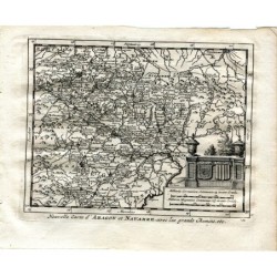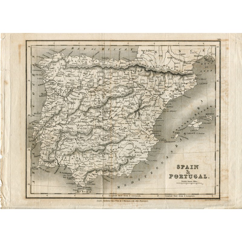


Original antique map of Spain and Portugal, with shaded relief, the division into provinces and kingdoms, the Balearic Islands and scales in British miles. Lettered at the foot: London, Published May 1st 1827, by J. Mawman & the other Proprietors, and at the right, J. & J. Neele sculp., 352 Strand.
Original antique map of Spain and Portugal, with shaded relief, the division into provinces and kingdoms, the Balearic Islands and scales in British miles. Lettered at the foot: London, Published May 1st 1827, by J. Mawman & the other Proprietors, and at the right, J. & J. Neele sculp., 352 Strand.
Medium: Copper engraving.
Engravers: J. & J. Neele, 352 Strand, London.
Publisher: J. Mawman and the other proprietors.
Date: 1 May 1827.
Source: Sheet no. XIII.
Dimensions: 11.7 x 9.1 in (29.8 x 23 cm).
Condition: Toned paper with oxidation staining and a central fold; adhesive tape on the back reinforcing the margins.
Original antique map of Spain and Portugal, with shaded relief, the division into provinces and kingdoms, the Balearic Islands and scales in British miles. Lettered at the foot: London, Published May 1st 1827, by J. Mawman & the other Proprietors, and at the right, J. & J. Neele sculp., 352 Strand.