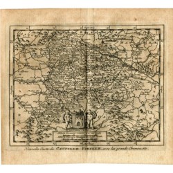
Original map of the Principality of Catalonia and the counties of Roussillon and Cerdagne, engraved on copper by Frederick de Wit around 1660-1680, entitled "Accuratissima Principatus Cataloniae et Comitatuum Ruscinonis et Cerretaniae Descriptio per F. de Wit". At upper left the title cartouche is held by six putti; at lower right, a second cartouche with coats of arms and four putti stands on a pedestal bearing the scales.
Frederick de Wit, born in 1630, was a celebrated engraver in Amsterdam, and his maps became very popular for the quality of their engraving. This uncoloured example details the rivers, mountains, towns and districts of Catalonia, from the Gulf of Lion to the Ebro delta.
Medium: Copper engraving (intaglio), uncoloured.
Artist / after: Frederick de Wit (b. 1630).
Date: 1660-1680.
Dimensions: Engraved area 19.3 x 22.4 in (49 x 57 cm); sheet 20.9 x 25.4 in (53 x 64.5 cm).
Condition: Good condition. Paper lightly toned, central fold, and edges with small signs of wear and irregularities; narrow margins.