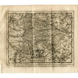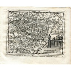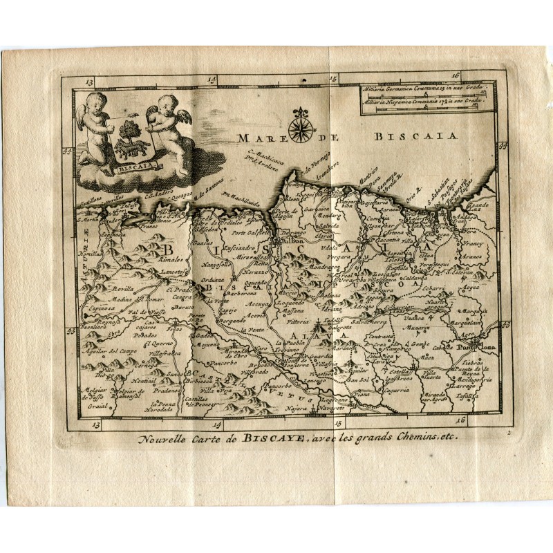


Original engraved map of Biscay with the main roads, the scales in German and Spanish miles below, after the pattern of the whole series. Lettered Nouvelle Carte de Biscaye, avec les grands Chemins, etc.
Original engraved map of Biscay with the main roads, the scales in German and Spanish miles below, after the pattern of the whole series. Lettered Nouvelle Carte de Biscaye, avec les grands Chemins, etc.
From Les delices de l'Espagne et du Portugal, published at Leiden by Pieter van der Aa in 1715, the most fully illustrated work on Spain to appear in the early 18th century.
Medium: Copper engraving.
Engraver: Pieter van der Aa (Leiden, 1659-1733).
Date: 1715.
Source: Les delices de l'Espagne et du Portugal, Leiden, 1715.
Dimensions: Image 4.8 x 6.3 in (12.3 x 16 cm); sheet 6.5 x 6.9 in (16.4 x 17.5 cm).
Condition: Laid paper toned, with the central binding fold proper to a book leaf.
Original engraved map of Biscay with the main roads, the scales in German and Spanish miles below, after the pattern of the whole series. Lettered Nouvelle Carte de Biscaye, avec les grands Chemins, etc.