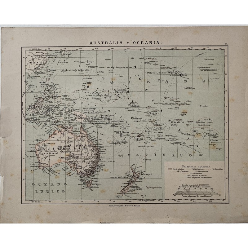


Colored lithographed map of Australia and Oceania published by Gras y Compañía in Madrid, with the key to the European possessions, British, Dutch, Spanish, French, Portuguese and American, and the courses of the regular steamer lines and of the international telegraph cables.
Colored lithographed map of Australia and Oceania published by Gras y Compañía in Madrid, with the key to the European possessions, British, Dutch, Spanish, French, Portuguese and American, and the courses of the regular steamer lines and of the international telegraph cables.
It records the colonial division of the Pacific before 1898, with the Marianas, Carolines and Palau still under Spanish sovereignty.
Medium: Colored lithograph.
Publisher: Gras y Compañía Editores, Madrid.
Date: 1885.
Dimensions: 13.1 x 10.4 in (33.2 x 26.5 cm).
Condition: Sound; yellowed paper with small tears and wear at the edges, without affecting the map.
Colored lithographed map of Australia and Oceania published by Gras y Compañía in Madrid, with the key to the European possessions, British, Dutch, Spanish, French, Portuguese and American, and the courses of the regular steamer lines and of the international telegraph cables.