

Colored lithographed map of northeastern Africa and Arabia, with Egypt, Nubia, Abyssinia, Somalia, Persia and the Arabian peninsula, published by Gras y Compañía in Madrid. It includes an inset of Lower Egypt and a key to the political divisions and to the modern voyages of exploration.
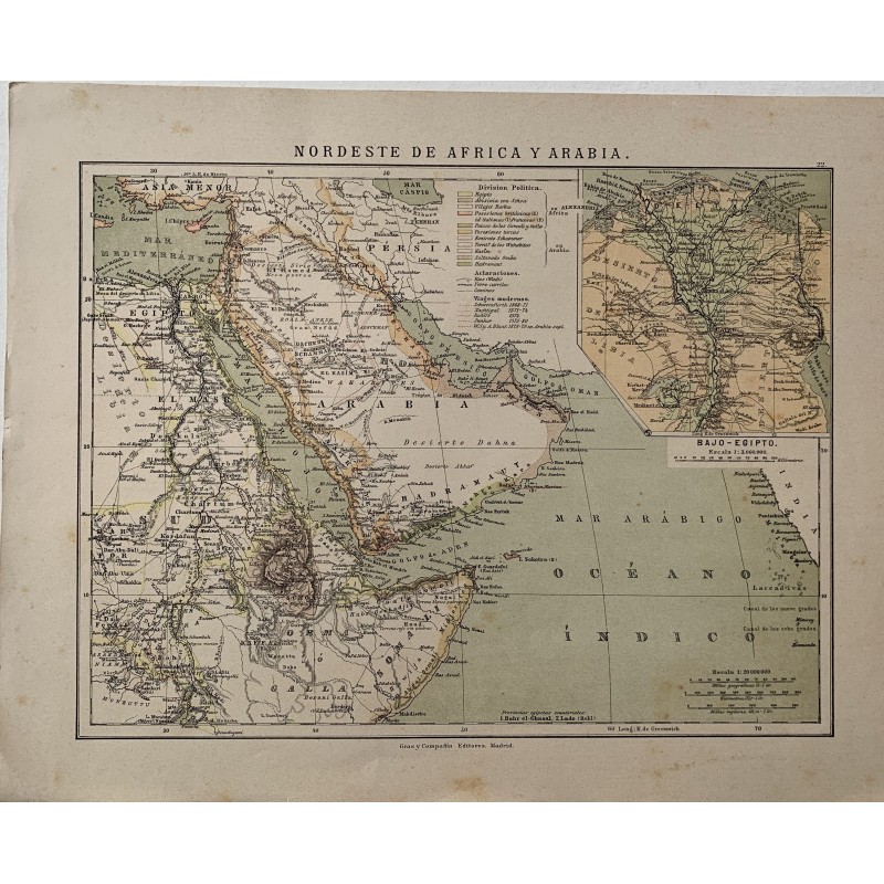
Colored lithographed map of northeastern Africa and Arabia, with Egypt, Nubia, Abyssinia, Somalia, Persia and the Arabian peninsula, published by Gras y Compañía in Madrid. It includes an inset of Lower Egypt and a key to the political divisions and to the modern voyages of exploration.
Medium: Colored lithograph.
Publisher: Gras y Compañía Editores, Madrid.
Date: 1885.
Dimensions: 13.1 x 10.4 in (33.2 x 26.5 cm).
Condition: Good condition; yellowed paper with scattered specks in the margins.
Colored lithographed map of northeastern Africa and Arabia, with Egypt, Nubia, Abyssinia, Somalia, Persia and the Arabian peninsula, published by Gras y Compañía in Madrid. It includes an inset of Lower Egypt and a key to the political divisions and to the modern voyages of exploration.