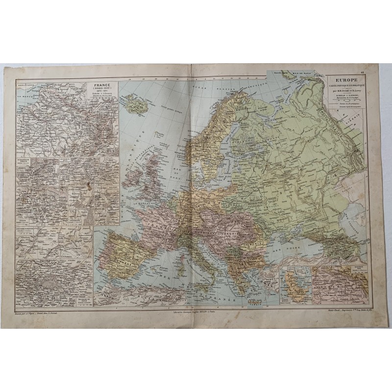


Double-folio lithographed map of Europe, physical and political, colored in inks, by M. M. Drioux and Ch. Leroy. It includes a column of insets with northeastern France in 1870-1871 and plans of Sedan, Metz, Strasbourg, Belfort, Paris and its surroundings, besides Holland and Bosnia.
Double-folio lithographed map of Europe, physical and political, colored in inks, by M. M. Drioux and Ch. Leroy. It includes a column of insets with northeastern France in 1870-1871 and plans of Sedan, Metz, Strasbourg, Belfort, Paris and its surroundings, besides Holland and Bosnia.
Drawn by A. Vuillemin and engraved by L. Sonnet for the Librairie Classique Eugène Belin of Paris.
Medium: Colored lithograph.
Artist / after: M. M. Drioux and Ch. Leroy.
Publisher: Librairie Classique Eugène Belin, Paris.
Date: Late 19th century.
Dimensions: 18.6 x 13.2 in (47.2 x 33.5 cm).
Condition: Sound; yellowed paper with a central binding fold, an occasional damp speck and small tears at the edges.
Double-folio lithographed map of Europe, physical and political, colored in inks, by M. M. Drioux and Ch. Leroy. It includes a column of insets with northeastern France in 1870-1871 and plans of Sedan, Metz, Strasbourg, Belfort, Paris and its surroundings, besides Holland and Bosnia.