
Antique map of the Black Sea and the surrounding countries, engraved and hand-colored, with an inset titled "Enlarged Plan of Sevastopol". It details the coast of the Crimea, the Sea of Azov, the Caucasus, Anatolia and the Danube. Published in London by Virtue & Co.
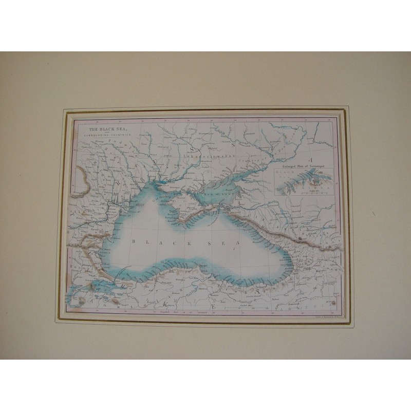
Antique map of the Black Sea and the surrounding countries, engraved and hand-colored, with an inset titled "Enlarged Plan of Sevastopol". It details the coast of the Crimea, the Sea of Azov, the Caucasus, Anatolia and the Danube. Published in London by Virtue & Co.
Medium: Steel engraving, hand-colored.
Source: Virtue & Co., London.
Dimensions: Sheet 7.5 x 10.2 in (19 x 26 cm).
Condition: Good; presented in a mat.
Antique map of the Black Sea and the surrounding countries, engraved and hand-colored, with an inset titled "Enlarged Plan of Sevastopol". It details the coast of the Crimea, the Sea of Azov, the Caucasus, Anatolia and the Danube. Published in London by Virtue & Co.