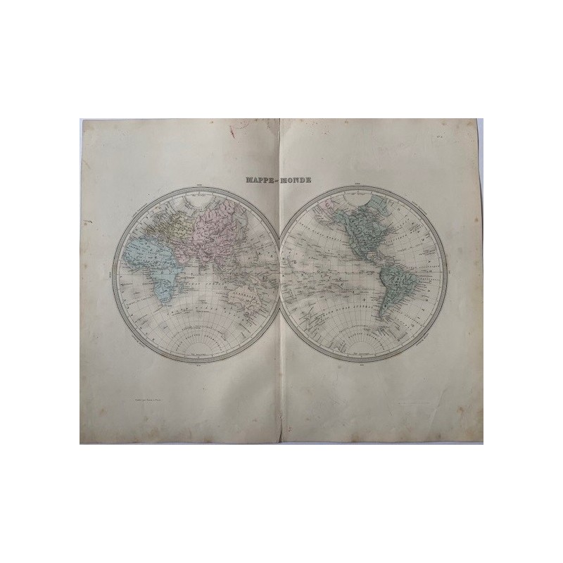


Antique world map in two hemispheres, engraved in copper and hand-colored in outline, with the full grid of meridians and parallels and the currents and routes marked. In the western hemisphere the north-west of America still appears as "Amerique Russe", that is Russian Alaska before 1867. Below, "Publie par Furne, a Paris".
Antique world map in two hemispheres, engraved in copper and hand-colored in outline, with the full grid of meridians and parallels and the currents and routes marked. In the western hemisphere the north-west of America still appears as "Amerique Russe", that is Russian Alaska before 1867. Below, "Publie par Furne, a Paris".
From the Atlas Universel de Geographie ancienne et moderne by A. Tardieu and A. Vuillemin, published in Paris by Furne to accompany Malte-Brun's Geographie Universelle.
Medium: Copper engraving with hand-colored outline, on wove paper
Cartographers: Ambroise Tardieu and A. Vuillemin
Publisher: Furne, Paris
Date: Mid-19th century
Source: Atlas Universel de Geographie ancienne et moderne
Dimensions: Image 16.9 x 13.4 in (43 x 34 cm); sheet 20.1 x 16.1 in (51 x 41 cm)
Condition: Fair. Paper toned with age, with foxing spread over the margins; central binding fold, no tears.
Antique world map in two hemispheres, engraved in copper and hand-colored in outline, with the full grid of meridians and parallels and the currents and routes marked. In the western hemisphere the north-west of America still appears as "Amerique Russe", that is Russian Alaska before 1867. Below, "Publie par Furne, a Paris".