- New
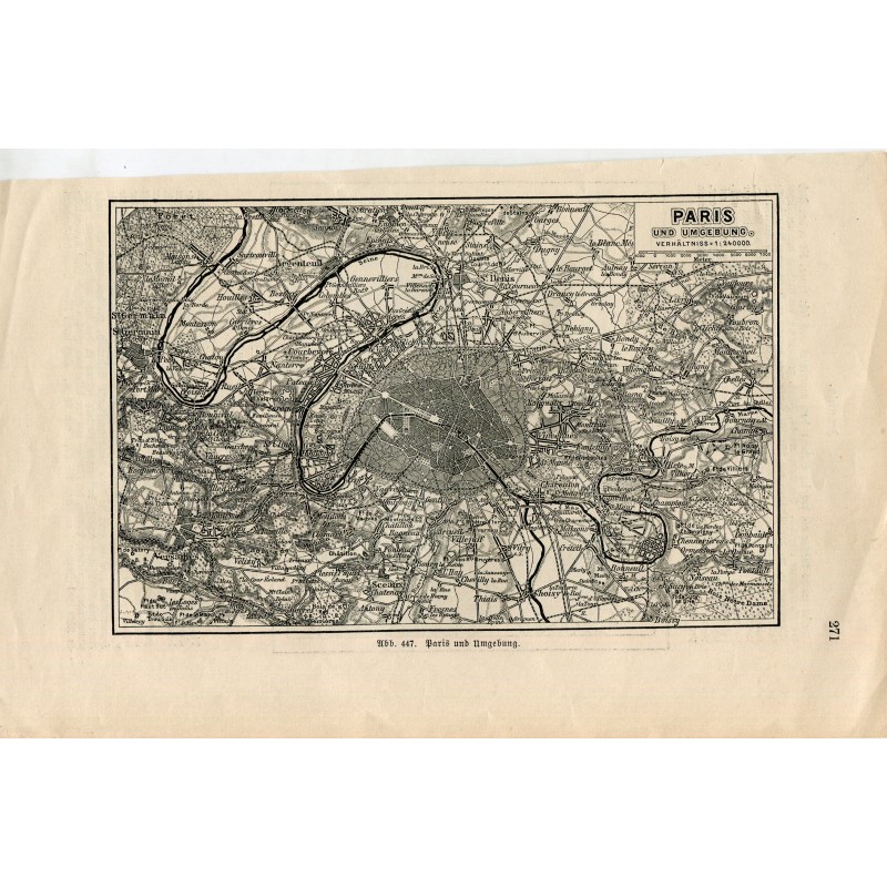


Antique map of Paris and its surroundings ("Paris und Umgebung"), scale 1:240,000, showing the city within the ring of fortifications, the course of the Seine, the woods of Saint-Germain and Vincennes and the network of railways and outlying towns. A leaf from a German encyclopedic dictionary, numbered as illustration 447.
Medium: Printed map (book leaf), with text on the back
Source: German illustrated encyclopedia, p. 271, "Abb. 447"
Date: Late 19th - early 20th century
Dimensions: 9.3 x 5.7 in (23.5 x 14.5 cm)
Condition: Paper toned as usual for the edition, with slight staining at the edges; printing crisp