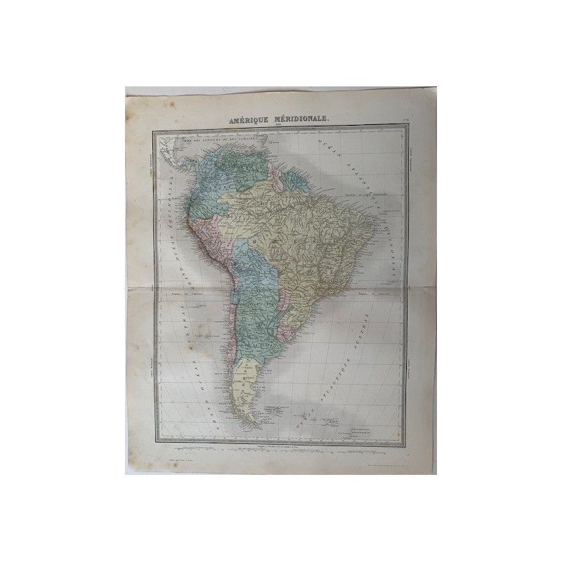

Original engraved map of South America, colored by hand in period outline distinguishing the republics and the Empire of Brazil. Published by Furne in Paris for the Atlas Universel de Geographie ancienne et moderne of Ambroise Tardieu and Alexandre Vuillemin.
Original engraved map of South America, colored by hand in period outline distinguishing the republics and the Empire of Brazil. Published by Furne in Paris for the Atlas Universel de Geographie ancienne et moderne of Ambroise Tardieu and Alexandre Vuillemin.
Medium: Copper engraving on wove paper, hand-colored
Artist / after: Ambroise Tardieu (1788-1841) and Alexandre Vuillemin
Engraver: Lemercier workshop, Paris
Date: 1863
Source: Atlas Universel de Geographie ancienne et moderne, ed. Furne, Paris
Dimensions: Image 16.9 x 13.4 in (43 x 34 cm); sheet 20.1 x 16.1 in (51 x 41 cm)
Condition: Toning consistent with age and light damp staining visible in the photograph.
Original engraved map of South America, colored by hand in period outline distinguishing the republics and the Empire of Brazil. Published by Furne in Paris for the Atlas Universel de Geographie ancienne et moderne of Ambroise Tardieu and Alexandre Vuillemin.