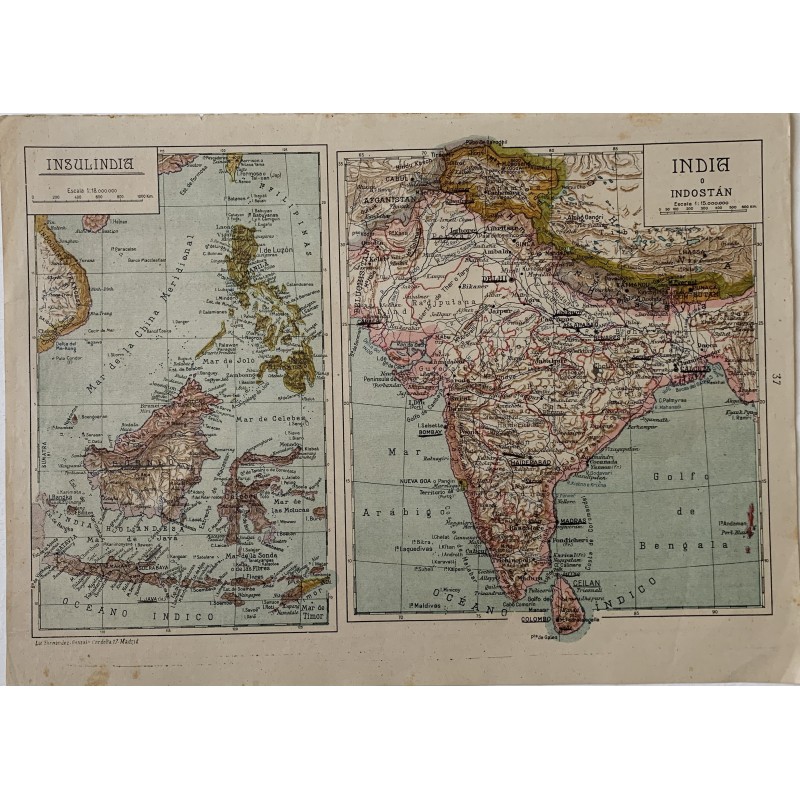


Original map in color with two sheets in one: Insulindia - the Malay Archipelago, the Philippines and Indochina - and India or Hindustan, with Ceylon and the Himalaya. Chromolithograph by the Litografia Fernandez Gonzalo of Madrid for Salvador Salinas's atlas.
Original map in color with two sheets in one: Insulindia - the Malay Archipelago, the Philippines and Indochina - and India or Hindustan, with Ceylon and the Himalaya. Chromolithograph by the Litografia Fernandez Gonzalo of Madrid for Salvador Salinas's atlas.
It keeps the colonial nomenclature of the interwar years: the Dutch East Indies, French Indochina, Portuguese Nova Goa and the princely states of the Indian interior.
Medium: Chromolithograph (lithograph in color).
Artist: Salvador Salinas.
Date: 1939.
Source: Litografia Fernandez Gonzalo, Cordoba 17, Madrid; map No. 37.
Dimensions: 13.4 x 9.6 in (34 x 24.5 cm).
Condition: Good condition; paper somewhat toned, clean over the printed surface.
Original map in color with two sheets in one: Insulindia - the Malay Archipelago, the Philippines and Indochina - and India or Hindustan, with Ceylon and the Himalaya. Chromolithograph by the Litografia Fernandez Gonzalo of Madrid for Salvador Salinas's atlas.