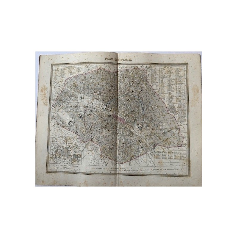


Antique plan of Paris, engraved and hand-colored, with the full layout of the city inside the customs wall, the twelve arrondissements numbered, the principal buildings drawn in outline and an index of streets running round the map on all four sides. At the lower left, the key to the successive lines of city walls, down to that of Louis-Philippe. Numbered as sheet 30.
Antique plan of Paris, engraved and hand-colored, with the full layout of the city inside the customs wall, the twelve arrondissements numbered, the principal buildings drawn in outline and an index of streets running round the map on all four sides. At the lower left, the key to the successive lines of city walls, down to that of Louis-Philippe. Numbered as sheet 30.
It was drawn and engraved by S. Jacobs, with the lettering by A. Blanchard, and published by Furne in Paris about the middle of the 19th century. The detail is remarkable: the index lists more than two hundred streets, passages, squares, markets and parishes.
Medium: Copper engraving with hand coloring
Artist / engraver: S. Jacobs; lettering by A. Blanchard
Publisher: Furne, Paris
Date: About 1846-1850
Dimensions: Image 16.9 x 13.4 in (43 x 34 cm); sheet 20.1 x 16.1 in (51 x 41 cm)
Condition: Acceptable. Two small tears in the central area, reinforced at the verso with adhesive tape; foxing spread over the paper, denser in the margins.
Antique plan of Paris, engraved and hand-colored, with the full layout of the city inside the customs wall, the twelve arrondissements numbered, the principal buildings drawn in outline and an index of streets running round the map on all four sides. At the lower left, the key to the successive lines of city walls, down to that of Louis-Philippe. Numbered as sheet 30.