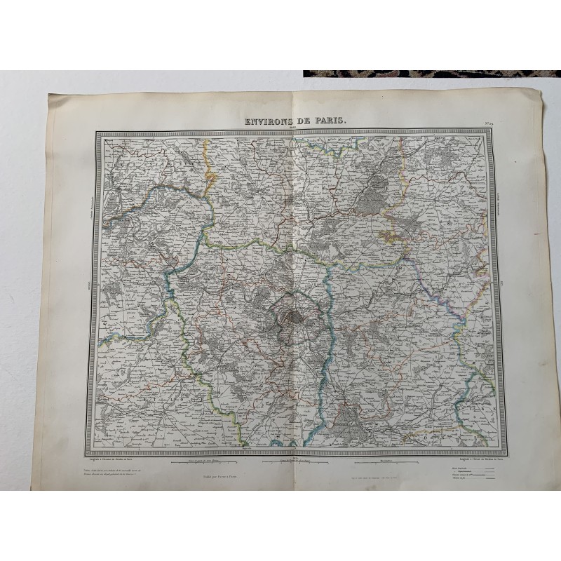


Original map of the environs of Paris engraved in intaglio and hand-colored in outline, titled "Environs de Paris" and numbered 29. Engraved by Tardieu, revised and corrected by Alexandre Vuillemin and published at Paris by Furne in 1858.
Original map of the environs of Paris engraved in intaglio and hand-colored in outline, titled "Environs de Paris" and numbered 29. Engraved by Tardieu, revised and corrected by Alexandre Vuillemin and published at Paris by Furne in 1858.
A note below states that the sheet is reduced from the new Map of France surveyed by the Dépôt Général de la Guerre, which explains its enormous detail of roads, railways and forests, with Versailles, Saint-Germain and Fontainebleau.
Medium: Copper engraving, hand-colored in outline.
Artist / after: Alexandre Vuillemin (1812-1880), revision and correction.
Engraver / lithographer: Ambroise Tardieu.
Date: 1858.
Source: Published by Furne, Paris.
Dimensions: 20.9 x 16.9 in (53 x 43 cm).
Condition: Good. Central binding fold as usual for the atlas and light wrinkling in the margins.
Original map of the environs of Paris engraved in intaglio and hand-colored in outline, titled "Environs de Paris" and numbered 29. Engraved by Tardieu, revised and corrected by Alexandre Vuillemin and published at Paris by Furne in 1858.