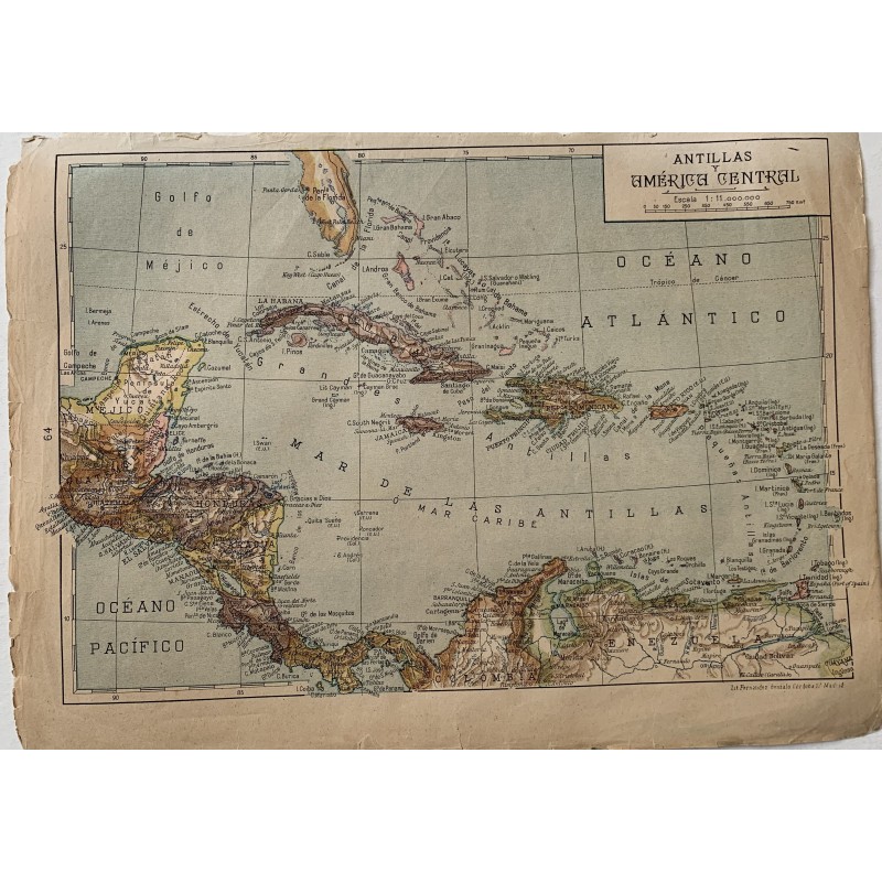


Colored lithographed map of the West Indies and Central America, with Cuba, Hispaniola, Puerto Rico, the Lesser Antilles, the Central American isthmus and the Panama Canal, and the north of Colombia and Venezuela. Printed at the Litografía Fernández, calle Gonzalo de Córdoba 17, Madrid.
Colored lithographed map of the West Indies and Central America, with Cuba, Hispaniola, Puerto Rico, the Lesser Antilles, the Central American isthmus and the Panama Canal, and the north of Colombia and Venezuela. Printed at the Litografía Fernández, calle Gonzalo de Córdoba 17, Madrid.
Medium: Colored lithograph.
Printer: Lit. Fernández, Gonzalo de Córdoba 17, Madrid.
Scale: 1:11,000,000.
Dimensions: 13.2 x 9.6 in (33.5 x 24.5 cm).
Condition: The map is complete and legible; the paper shows toning, with tears and losses in the margins from handling.
Colored lithographed map of the West Indies and Central America, with Cuba, Hispaniola, Puerto Rico, the Lesser Antilles, the Central American isthmus and the Panama Canal, and the north of Colombia and Venezuela. Printed at the Litografía Fernández, calle Gonzalo de Córdoba 17, Madrid.