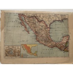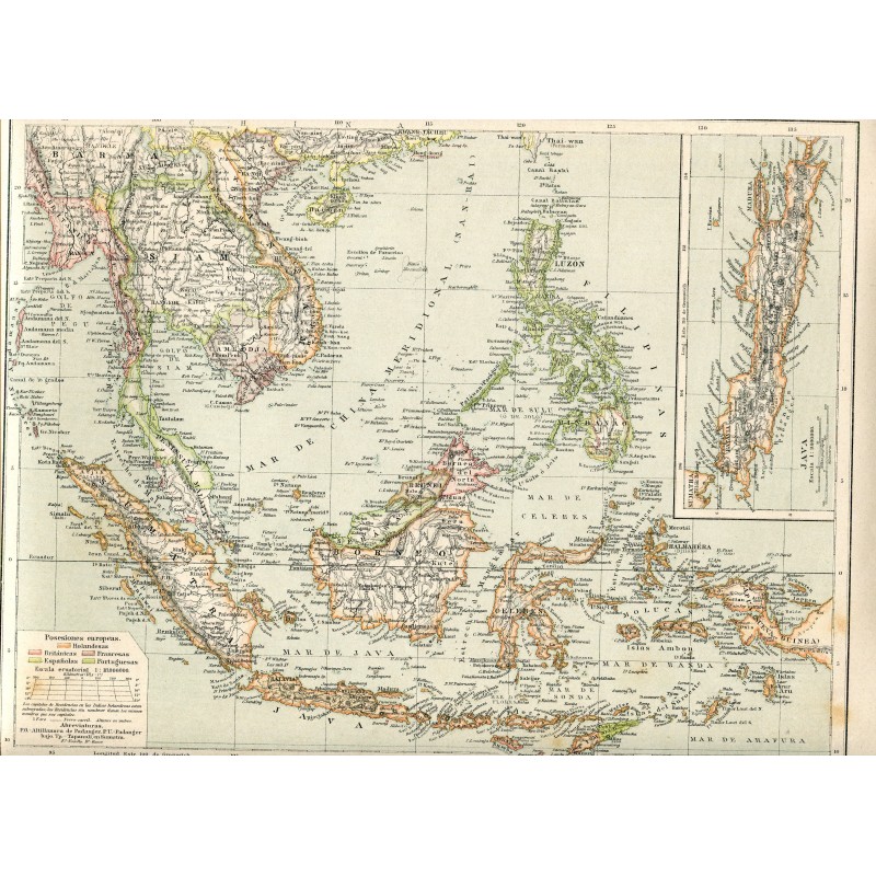

Original antique map of the East Indies, with Indochina, the Malay archipelago, the Philippines and Borneo, colored by European possession — Dutch, British, French, Spanish and Portuguese — and with an inset detail of Java. Lettering in Spanish.
Original antique map of the East Indies, with Indochina, the Malay archipelago, the Philippines and Borneo, colored by European possession — Dutch, British, French, Spanish and Portuguese — and with an inset detail of Java. Lettering in Spanish.
Medium: Lithograph, colored.
Date: 19th century.
Source: Gras y Cía., Madrid.
Dimensions: 13.3 x 11.2 in (33.8 x 28.4 cm).
Condition: Good. Fresh colors and clean paper.
Original antique map of the East Indies, with Indochina, the Malay archipelago, the Philippines and Borneo, colored by European possession — Dutch, British, French, Spanish and Portuguese — and with an inset detail of Java. Lettering in Spanish.