- New
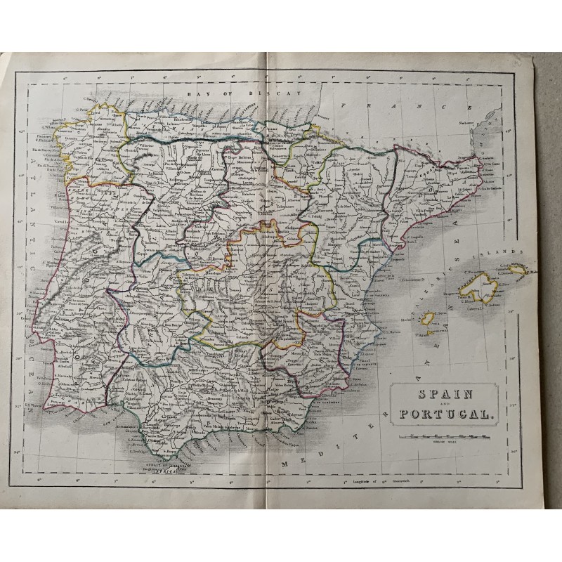


Engraved map of Spain and Portugal with the boundaries of the provinces and of the old kingdoms heightened by hand in color, the network of roads and towns, the Balearics in an inset and the scale in English miles. Titled in a cartouche "Spain and Portugal", an English edition of the second third of the 19th century.
Medium: Copper engraving, hand-colored
Date: 19th century
Dimensions: 13.1 x 10.9 in (33.2 x 27.7 cm)
Condition: Paper somewhat toned, with the central binding fold and rubbed edges; color bright