- New
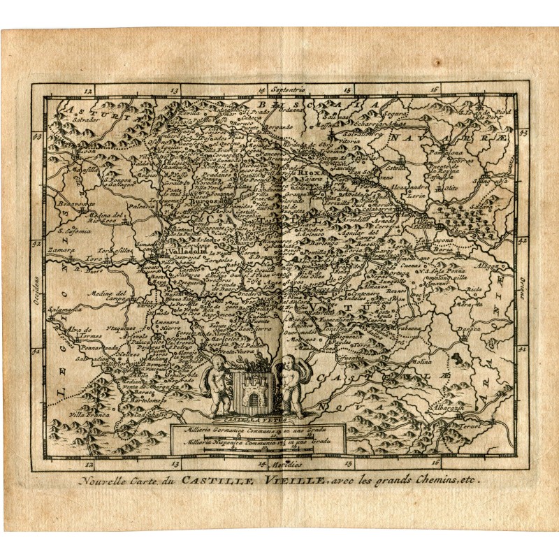


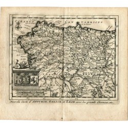
Original engraved map of Old Castile with the royal highways, published by Pieter van der Aa in Leiden in 1715. Lettered below with the title "Nouvelle Carte du Castille Vieille, avec les grands Chemins, etc.", and within the map a cartouche with the arms of Castile held by two genii.
It comes from "Les Delices de l'Espagne et du Portugal", the most profusely illustrated work on Spain published in the early 18th century. It covers everything from Asturias and Biscay to Aragon and Teruel, with Burgos, Valladolid, Soria and Salamanca among the many place names engraved.
Medium: Original copper engraving.
Artist / after: Pieter van der Aa.
Date: 1715.
Source: Les Delices de l'Espagne et du Portugal, Leiden, 1715.
Dimensions: Image 4.9 x 6.1 in (12.4 x 15.6 cm); sheet 6.1 x 6.9 in (15.5 x 17.4 cm).
Condition: Good condition; paper somewhat browned and with the mark of the central binding fold.