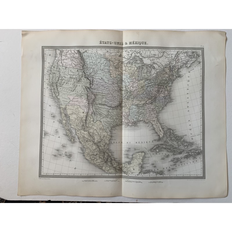


Original map of the United States and Mexico engraved in intaglio and hand-colored in outline, titled "États-Unis & Méxique" and numbered 25. Engraved by Tardieu, revised and corrected by Alexandre Vuillemin and published at Paris by Furne in 1858.
Original map of the United States and Mexico engraved in intaglio and hand-colored in outline, titled "États-Unis & Méxique" and numbered 25. Engraved by Tardieu, revised and corrected by Alexandre Vuillemin and published at Paris by Furne in 1858.
It reflects the North American political map on the eve of the Civil War, with the territories of Utah, New Mexico, Kansas and Nebraska not yet broken up and the Mexican border already fixed after the treaty of Guadalupe Hidalgo.
Medium: Copper engraving, hand-colored in outline.
Artist / after: Alexandre Vuillemin (1812-1880), revision and correction.
Engraver / lithographer: Ambroise Tardieu.
Date: 1858.
Source: Published by Furne, Paris.
Dimensions: 20.9 x 16.9 in (53 x 43 cm).
Condition: Good. Central binding fold as usual for the atlas, paper somewhat browned at the edges and light handling wrinkles.
Original map of the United States and Mexico engraved in intaglio and hand-colored in outline, titled "États-Unis & Méxique" and numbered 25. Engraved by Tardieu, revised and corrected by Alexandre Vuillemin and published at Paris by Furne in 1858.