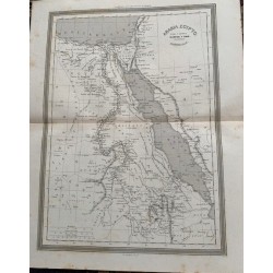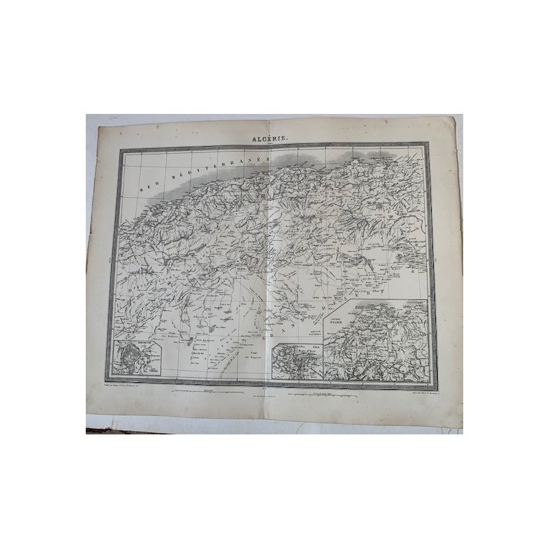

Antique map of Algeria engraved in copper, with the Mediterranean seaboard, the Atlas and the edge of the Sahara, the minute place names of the districts and two detail insets in the lower part, one of them of the surroundings of Algiers. Below, "Publie par Furne, a Paris".
Antique map of Algeria engraved in copper, with the Mediterranean seaboard, the Atlas and the edge of the Sahara, the minute place names of the districts and two detail insets in the lower part, one of them of the surroundings of Algiers. Below, "Publie par Furne, a Paris".
From the Atlas Universel de Geographie ancienne et moderne by A. Tardieu and A. Vuillemin, published in Paris by Furne to accompany Malte-Brun's Geographie Universelle.
Medium: Copper engraving on wove paper, uncolored
Cartographers: Ambroise Tardieu and A. Vuillemin
Publisher: Furne, Paris
Date: Second half of the 19th century
Source: Atlas Universel de Geographie ancienne et moderne
Dimensions: Image 16.9 x 13.4 in (43 x 34 cm); sheet 20.1 x 16.1 in (51 x 41 cm)
Condition: Fair. Paper toned with age, with foxing in the margins and some creasing at the edges; central binding fold.
Antique map of Algeria engraved in copper, with the Mediterranean seaboard, the Atlas and the edge of the Sahara, the minute place names of the districts and two detail insets in the lower part, one of them of the surroundings of Algiers. Below, "Publie par Furne, a Paris".