- New
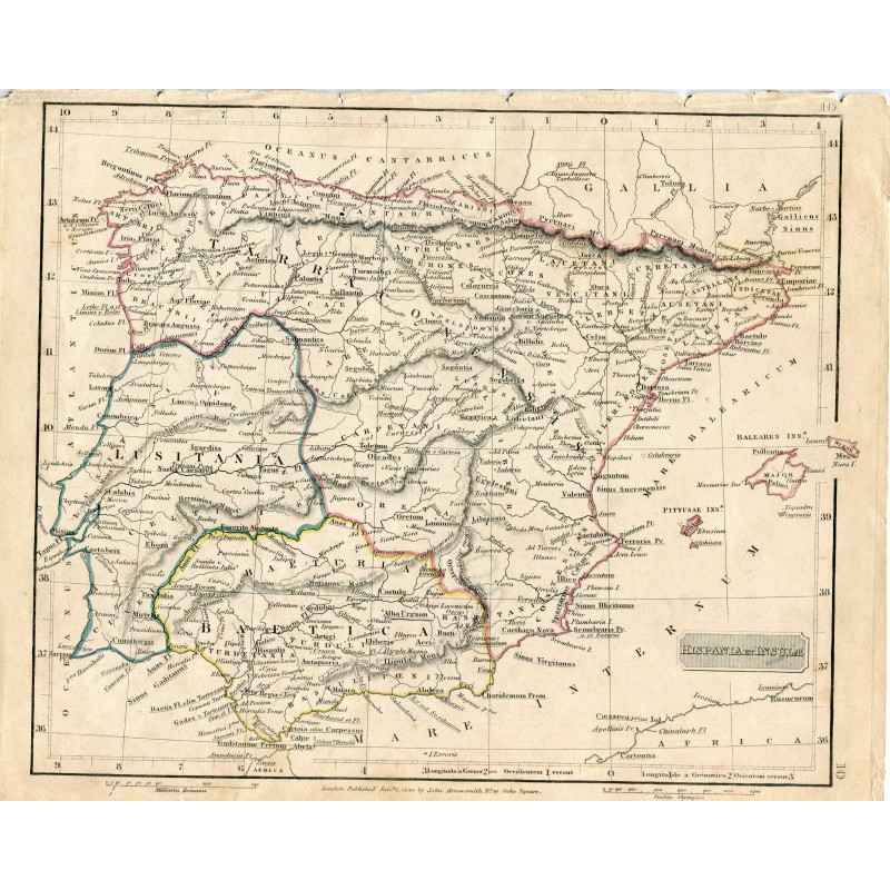


Antique engraved map of Roman Hispania, "Hispania et Insulae", published in London by John Arrowsmith at his house at 10 Soho Square. It gives the Latin place names of the Peninsula and the Balearic Islands, with the boundaries of Tarraconensis, Lusitania and Baetica outlined in color.
Medium: Steel engraving, outlined in color.
Engraver / lithographer: John Arrowsmith, London.
Date: 1840 according to the old record; the imprint reads "London, Published Jan.y 2" with the year hard to read.
Dimensions: 10.7 x 8.7 in (27.2 x 22 cm).
Condition: Good. Paper with light toning and a few foxing spots, a diagonal fold at the lower right corner and small losses at the upper edge, outside the map.