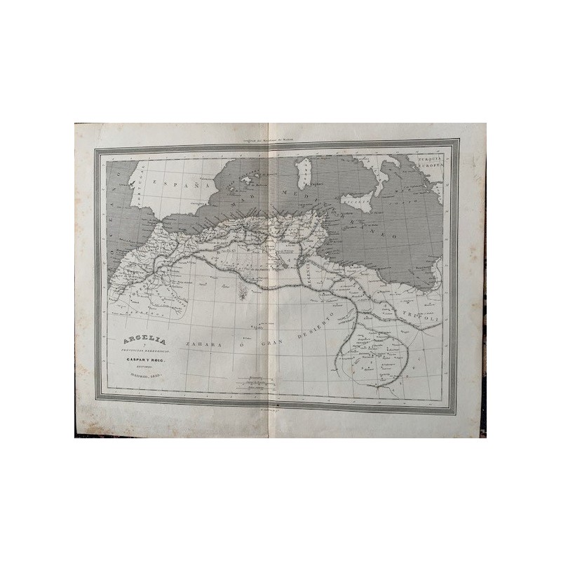


An original engraved map of Algeria and the Barbary provinces, cut on steel by Ramon Alabern and published in Madrid by Gaspar y Roig. It covers the North African coast from Morocco to Tripoli, with southern Spain and the Balearics in the upper corner.
An original engraved map of Algeria and the Barbary provinces, cut on steel by Ramon Alabern and published in Madrid by Gaspar y Roig. It covers the North African coast from Morocco to Tripoli, with southern Spain and the Balearics in the upper corner.
Medium: steel engraving
Engraver: Ramon Alabern i Moles (Begues, 1811 - Madrid, 1888)
Publisher: Gaspar y Roig, Madrid
Date: 1852
Dimensions: 13.0 x 10.4 in (33 x 26.4 cm)
Condition: good
An original engraved map of Algeria and the Barbary provinces, cut on steel by Ramon Alabern and published in Madrid by Gaspar y Roig. It covers the North African coast from Morocco to Tripoli, with southern Spain and the Balearics in the upper corner.